
Sekathum, where the walking starts, sits at 1,575 metres. Taplejung, where you spend the night before it, sits at 1,820. The 39-kilometre drive between them goes downhill, and that is the first thing this trek does.
I want you to understand the shape of this before you decide anything. It is far-eastern Nepal, a long way from the Khumbu I know best. There is limited infrastructure above 3,000 metres. The teahouses are basic. If something goes wrong, a helicopter evacuation takes longer than it would in the Khumbu or around Annapurna, and I would rather say that here than have you find it out on day ten.
The people on the lower trail are Limbu and Rai, and the villages have millet terraces, bamboo houses and tongba, the fermented millet drink. Few foreign trekkers pass through. By our own estimate it is perhaps 200 a year, against hundreds a day on the Everest Base Camp trail.
This is a restricted area. A licensed guide is mandatory, and since March 2026 solo trekkers can apply for the restricted area permit on their own. We arrange the permits either way. The rules are laid out in the trekking permits guide, and I will not repeat them here.
Walking this one? See the Kanchenjunga Base Camp Trek package, dates and group sizes.
Two Days of Road
Day one is arrival in Kathmandu at 1,345 metres and a hotel. Day two is the pre-trip meeting with your guide and some sightseeing around the valley.
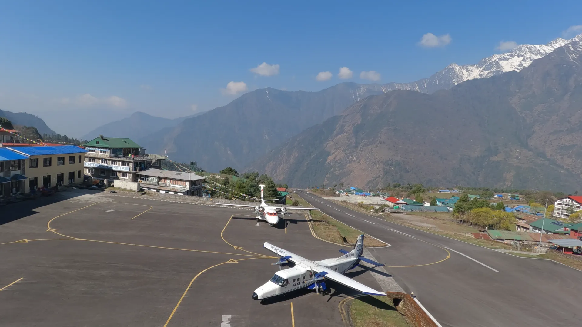
Day three is the day that surprises people. The drive to Taplejung, 1,820 metres, is 249 kilometres and takes eight to nine hours. Getting to the start of that road is either a flight from Kathmandu toward the east, or a drive of more than 18 hours all the way from the capital. We arrange it either way.
Day four is 39 kilometres and five to six hours of driving to Sekathum, at 1,575 metres. That is 245 metres lower than Taplejung. You are heading for a base camp at 5,143 and you spend the fourth night of the trek lower than the third.
Sit with that for a minute. Everything after this is on foot.
- Day01Arrival in Kathmandu
- Day02Pre-trip Meeting & Kathmandu Sightseeing
- Day03Fly to Bhadrapur & Drive to Taplejung+475 m
- Day04Drive to Sekathum−245 m
Forest and the Rest Day
Day five is the first walk: nine kilometres, about six hours, to Amjilosa at 2,380 metres. Day six is seven kilometres and about five hours to Gyabla at 2,725. Day seven is ten kilometres and about five hours to Ghunsa at 3,415.
You climb through farming communities and then forest. The rhododendron forests between 2,500 and 3,500 metres are among the most extensive in Nepal. In April and May the canopy is red, pink and white. In October and November you walk under it with clear air instead of flowers.
Day eight is a rest day at Ghunsa, a second night at 3,415 metres. Take it seriously. The next day you climb 730 metres.
- Day05Trek to Amjilosa+805 m
- Day06Trek to Gyabla+345 m
- Day07Trek to Ghunsa+690 m
- Day08Acclimatization Day at Ghunsa
North to Pangpema
Day nine is ten kilometres and about six hours up to Khambachen at 4,145 metres. Day ten is ten kilometres and about five hours to Lhonak at 4,792, another 647 metres. Those two climbs come back to back, 730 metres and then 647, with no rest day between them.
Then comes the day the trek is named for. You walk from Lhonak to Pangpema, Kanchenjunga North Base Camp, at 5,143 metres, and you walk back down to sleep at Lhonak again. It is about seven hours in all, and the climb is 351 metres. After the two days before it, that number looks small. It does not feel small at 5,000.
You sleep at Lhonak twice, so three nights in a row are above 4,000 metres. That is the stretch I watch most closely with a group. Your guide will ask how you slept and how your head is, and the honest answer matters more than the plan.
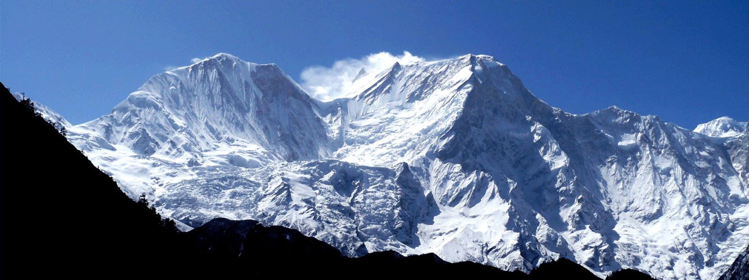
Kanchenjunga is 8,586 metres, the third-highest mountain on Earth, after Everest and K2.
Day twelve is the way back: about six hours down to Ghunsa, 3,415 metres, the village you left on day nine. From Lhonak at 4,792 that is a drop of 1,377 metres in a single day. Poles help.
- Day09Trek to Khambachen+700 m
- Day10Trek to Lhonak+677 m
- Day11Trek to Pangpema (Kanchenjunga North Base Camp)+351 m
- Day12Trek Back to Ghunsa−1,728 m
Three Passes in a Day
The first half goes north and comes back to Ghunsa. The second half goes over three passes to the south base camp.
Day thirteen is seven hours from Ghunsa to Sele Le Base Camp, where you sleep. Day fourteen starts from there and is seven hours of walking over three passes: the Sele Le, then the Sinion La at 4,440 metres, then the Mirgin La at 4,480. By evening you are at Tseram, 3,870 metres, and you have come down off all three.
Day fifteen is the long one, eight hours. You walk from Tseram to Ramche at 4,580, go on up to Oktang, the south base camp, at 4,740 metres, and walk back to Tseram for the night. That is 870 metres up from where you slept, and the same down.
The south base camp sits on a moraine shelf with the Yalung Glacier and the mountain's south face above it. Jannu, 7,711 metres, is visible to the west. Oktang is 403 metres lower than Pangpema. Facilities are simple above Tseram.
- Day13Trek to Sele Le Base Camp+875 m
- Day14Trek to Cheram ( Tseram)−420 m
- Day15Trek to Ramche+710 m
Down and Out
Day sixteen is about five hours down to Tortong, 2,995 metres. Day seventeen is about seven hours to Yamphudin at 2,080, and day eighteen is another seven hours to Khebang at 1,915. After the base camps this is the grind: long days that lose height steadily and give nothing back. Knees and toes notice.
Tortong, Yamphudin and Khebang are all new names. None of them is a place you slept on the way in.
Day nineteen is a drive to Kanyam, 1,630 metres, and a hotel. Day twenty is the drive from Kanyam to Bhadrapur and the flight back to Kathmandu. Day twenty-one is the transfer to the international airport.
- Day16Trek to Tortong−1,585 m
- Day17Trek to Yamphudin−915 m
- Day18Trek to Khebang−165 m
- Day19Drive to Kanyam−285 m
- Day20Drive to Bhadrapur−285 m
- Day21Departure
The last night on the trail is Khebang, at 1,915 metres. That is 340 metres higher than Sekathum, where you started, because the loop does not come back to the village where it began. In the morning a vehicle takes you down to Kanyam at 1,630, and that is the lowest you have been since day four.
Written by Prem Pandit, Founder