
Day two is a jeep. You leave Kathmandu, at 1,345 metres, early in the morning and head west through Dhading and Gorkha to the Budhi Gandaki valley, and seven or eight hours later you reach Machha Khola, at 870. That is the lowest place you sleep on this trek. The river is loud enough that the rapids carry through every room of the teahouse.
Manaslu is a restricted area, and a licensed guide is mandatory. The first checkpoint is at Jagat on day three, where the officials check your permits and your guide's licence against each other. We file all of the paperwork, and the Manaslu restricted area permit guide sets out the rules in full.
Above Jagat the valley turns Tibetan Buddhist. There are mani walls, flat roofs, firewood stacked in rows. The teahouses shrink as you climb, and by the top of the valley they are plain: shared rooms, squat toilets, limited electricity. Know that before day ten, because Dharamsala is where it shows most.
You go up one valley and come down another. The Budhi Gandaki takes you in, and the Marsyangdi, at Dharapani, takes you out.
Walking this one? See the Manaslu Circuit Trek package, dates and group sizes.
Jeep, Then Gorge
Day one is your arrival at Tribhuvan airport and a transfer to a hotel in Thamel. The afternoon goes on the trek briefing at our office, a last gear check and the permit paperwork, which needs your passport with the visa sticker in it. Change enough money into Nepali rupees here. There are no ATMs past Kathmandu on this route.
Day two is the drive to Machha Khola. The road is paved as far as Arughat and rough and unsealed after it. The village has a handful of teahouses that serve dal bhat and noodle soup.
Day three is the first walk, and it climbs 470 metres to Jagat, at 1,340, in about seven hours. Khorlabesi, at 970 metres, has hot springs beside the river, and a fifteen-minute soak is allowed if the day gives you the time. Above it the gorge narrows. The trail switches between forested hillside and bare rock. Jagat is the entrance to the Manaslu Conservation Area, and I think of it as a border: Hindu lowlands below, Tibetan Buddhist highlands above.
Day four is about six hours to Deng, at 1,860 metres, a gain of 520. Philim, at 1,590, is a larger village with a second permit checkpoint. Deng is a few buildings in a narrow side valley, fewer than a dozen. Look at the roofs. They are flat, with firewood stacked on them, and prayer flags run between the buildings. Above Deng the gorge deepens again and the trail runs along cliff faces.
- Day01Arrival in Kathmandu
- Day02Drive from Kathmandu to Machha Khola−475 m
- Day03Machha Khola to Jagat+470 m
- Day04Jagat to Deng+520 m
Into the Tibetan Villages
Each of these three days climbs less than the one before. Day five gains 770 metres, day six gains 550 and day seven gains 350.
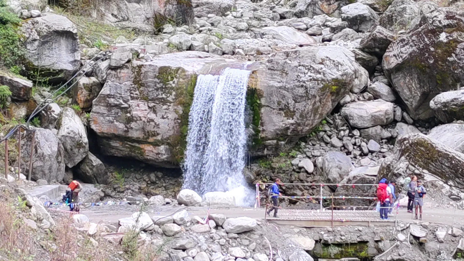
Day five is the hard one, seven hours from Deng to Namrung, at 2,630 metres. Ghap, at 2,160, is the midday stop, a small village with a gompa and a waterfall you can see from the teahouse patio. Above it the forest thickens with rhododendron and birch. People who skimped on water in the gorge feel this day more than the rest. Namrung is a farming village of stone houses and barley fields.
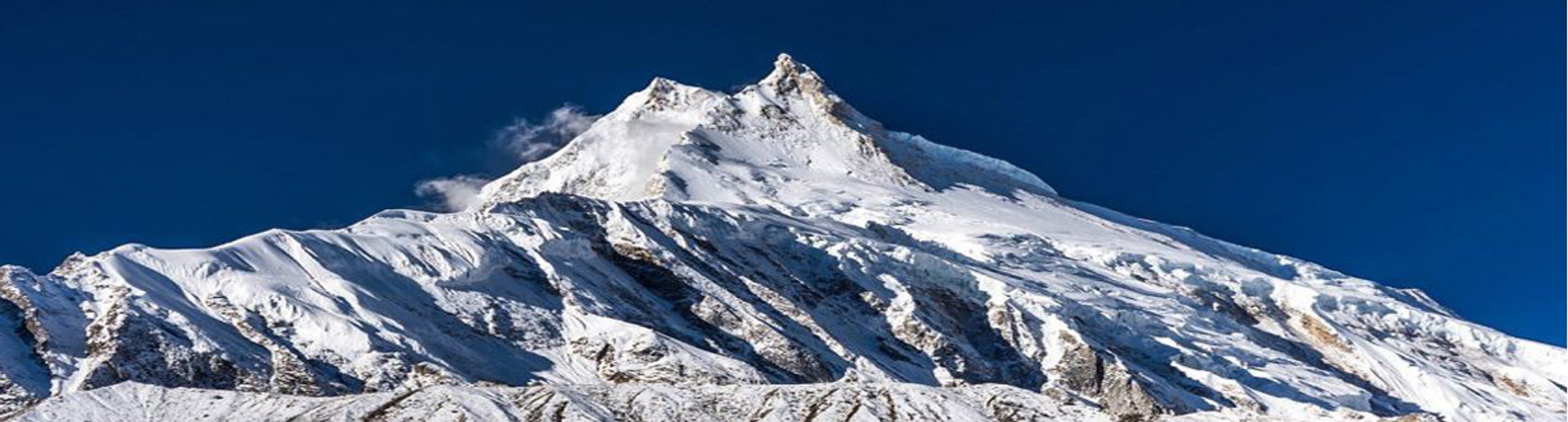
Day six is five hours to Lho, at 3,180 metres, through Lihi at 2,920 and Sho at 2,950. A monastery sits on a ridge at Lho with the north face of Manaslu directly across the valley, and the gompa is open to visitors. There are two or three teahouses, small and basic. From here the menus narrow to dal bhat, thukpa, noodle soup and porridge, and the rooms get colder.
Day seven is five hours more, past Shyala at 3,500 metres, to Samagaon at 3,530. It is the largest settlement on the circuit, with roughly 400 residents, a school and a gompa. The Manaslu Glacier sits above the village and Birendra Lake is visible three kilometres up the valley. This is the last village with anything like reliable wifi, so charge everything.
- Day05Deng to Namrung+770 m
- Day06Namrung to Lho+550 m
- Day07Lho to Samagaon+350 m
The Short Days
Day eight is the rest day at Samagaon, and it has a hike in it. The standard morning walk goes to Birendra Lake, at 3,691 metres, about an hour each way at an easy pace. The lake is fed by the glacier, and in the early morning it holds the reflection of Manaslu's summit until the wind comes up. Stronger walkers can go toward Pungyen Gompa instead, at about 4,000 metres, a round trip of 15 to 16 kilometres and five or six hours through yak pastures. Either way you come back down to sleep at 3,530 metres, and in the evening your guide checks your pulse oximeter readings and decides whether you go on.
I like this day. It is the one day on the trek where the plan and the body agree.
Day nine is the shortest walk so far, about four hours up to Samdo, at 3,860 metres, a gain of 330. The valley climbs gently past scattered stone shelters and yak pastures. Samdo is a two-street village of flat-roofed stone houses near the Tibet border, and yak caravans still come in from the Larkya Bazaar trading post. It has two teahouses. There is no wifi and no phone signal. In October the nights drop to between minus 8 and minus 12.
Day ten is five hours and 600 metres of climbing through open ground with no trees, up to Dharamsala at 4,460 metres, also called Larke Phedi or Larkya Base Camp. There are only two guesthouses. When 20 to 30 trekkers arrive on the same evening in peak season, both run dorm-style rooms. The toilets are outside and squat-style, there is no shower, and charging is limited to a few hours of solar power. That evening your guide briefs the group on the crossing: a 3 to 4am wake-up, headlamps, layers, water and pace.
- Day08Samagaon acclimatization day
- Day09Samagaon to Samdo+330 m
- Day10Samdo to Dharamsala (Larkya Base Camp)+600 m
The Long One
You leave Dharamsala between 3am and 4am, in the dark, in full cold-weather layers, with a headlamp. The climb to the Larkya La takes four to five hours over rocky, sometimes icy ground. Temperatures at the pass run between minus 10 and minus 20 before sunrise.
At 5,106 metres the view opens to the west: Himlung Himal at 7,126, Cheo Himal at 6,820, Kang Guru at 6,981 and Annapurna II beyond them. The climb from Dharamsala is 646 metres.
Then you go down. The descent to Bimtang is 1,386 metres, on loose scree and moraine, and it takes three to four hours. It is harder on the knees than the climb was on the lungs. There is no teahouse and no shelter anywhere between Dharamsala and Bimtang, so what you carry up is what you have.
Bimtang is a high meadow at 3,720 metres, with two teahouses and 6,000 and 7,000 metre peaks around it. You sleep 740 metres lower than the night before. You also sleep lower than you did at Samdo, two nights earlier.
- Day11Dharamsala to Bimtang via Larkya La Pass (5,106m)−740 m
Forest, Then the Road
Day twelve is about six hours from Bimtang to Tilje, at about 2,300 metres, a drop of 1,420. From the ridges above Bimtang you can see Manaslu with Himlung Himal and Lamjung Himal. The trail goes down through the pastures at Sangre Kharka, crosses a bridge and enters rhododendron forest, which flowers in the spring. Then it climbs again over open ground toward the ridges before it drops into Tilje.
Day thirteen is four hours down to Dharapani, at 1,860 metres. Rhododendron and pine forest returns, and near Dharapani the path meets a rough jeep road in the Marsyangdi valley, where the Manaslu route joins the Annapurna Circuit. The Annapurna Circuit itinerary starts its walking from this same village, going the other way up the river. The air is warm and thick with oxygen. The teahouses have better menus, warmer rooms and hot showers.
Day fourteen is the jeep from Dharapani through Besisahar to Kathmandu, ten to twelve hours on a mostly unsealed road. It follows the Marsyangdi downstream before it joins the highway, and you reach the city in the late evening and go straight to the hotel.
Day fifteen is the transfer to the airport, 20 to 40 minutes depending on traffic. If your flight leaves in the afternoon there is time for Boudhanath, which is a 20-minute drive, or Swayambhunath, or a last walk through Thamel.
- Day12Bhimtang to Tilje−1,420 m
- Day13Tilje to Dharapani−440 m
- Day14Drive Dharapani to Kathmandu−515 m
- Day15Departure
The walk begins in one river valley and ends in another. It starts at Machha Khola, at 870 metres, and ends at Dharapani, at 1,860, which is 990 metres higher and the same height as Deng on day four. After it comes the jeep, ten to twelve hours of it, down to Kathmandu at 1,345.
Written by Prem Pandit, Founder