

- Where these numbers come from
- The temperature table
- Kailash Mansarovar Yatra weather by month
- April
- May
- June
- July
- August
- September
- October
- The kora day: Dirapuk at dawn, the pass at noon
- Snow, rain, sun and wind
- Does it snow at Mount Kailash?
- Rain
- Sun
- Wind
- The road we drive: Kerung, Saga and the passes
- What to wear for the Kailash Mansarovar Yatra
- When the weather turns
- Frequently Asked Questions
- How cold is Dolma La Pass in summer?
- Does it snow at Mount Kailash in July and August?
- How much rain falls during the Kailash Mansarovar Yatra season?
- Which month is warmest at Darchen?
- What should I wear on the Dolma La day?
Mount Kailash is cold, dry and sunny. That sentence covers most of the Kailash Mansarovar Yatra weather, and the rest of this guide is the detail behind it: how cold, how dry, how sunny, and in which month.
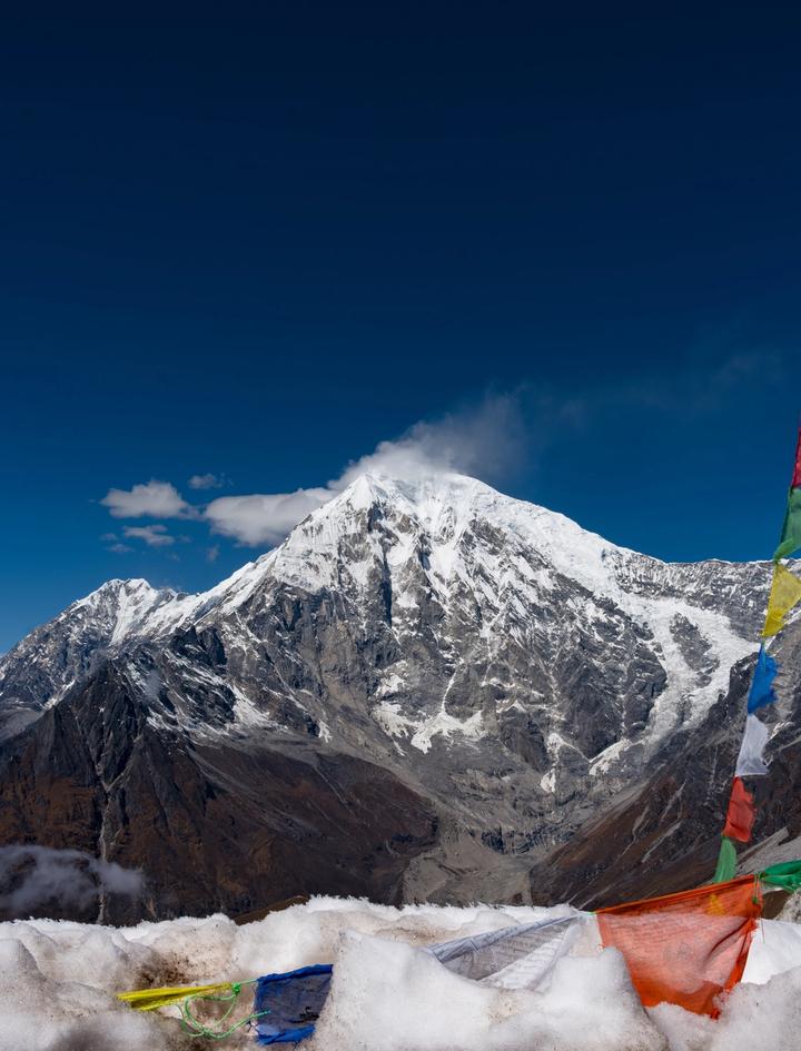
The short version for July, the warmest month of the season: Darchen, where the kora starts, has an average afternoon high of about 17 C and an average night low of about 4 C. Dolma La Pass, 1,000 m higher, runs about 10 C by day and minus 2 C at night. Rain is light and the sun is strong. Expect wind.
We run two departures to this mountain, the 10-day overland Kailash Mansarovar Yatra through Kerung and the 15-day Mount Kailash and Mansarovar tour via Lhasa. Both walk the same 52 km kora in the same weather. What follows is built so you can pack for it.
Where these numbers come from
No weather station stands at Darchen. None stands at Lake Mansarovar or on Dolma La either, and any page that gives you a clean monthly chart for those places has either estimated it or copied it from someone who did.
The closest official record is Burang County, a station at 3,900 m run by the China Meteorological Administration, with normals for 1991 to 2020. We used that. Darchen is about 4,670 m, so it sits roughly 770 m above the station, Lake Mansarovar (about 4,590 m) about 690 m above it, and Dolma La (5,630 m) 1,730 m above it. Air cools with height. The standard rate in the international standard atmosphere is 6.5 C for every 1,000 m, and we subtracted that for each place.
Every temperature below is therefore an estimate, and it carries an error of about 3 C either way. We checked the method against a second Chinese government station, Shiquanhe (the Ali prefecture seat, 4,279 m), adjusted to Darchen's height. The two agree within about 3 C, and that gap is the honest margin. The real atmosphere does not cool at a perfectly even rate, and a pass in cloud feels colder than an average high suggests.
The rain, snow and sunshine numbers are different. Those are the Burang station's own measurements, unadjusted. They describe a valley at 3,900 m, so treat snow figures as a floor. Dolma La can see snow in any month.
A popular competitor table lists 107 mm of rain for July and 119 mm for August. The station recorded 18.5 mm and 25.6 mm. The table cites no source.
The temperature table
This is the Kailash weather chart to pack from, the mount Kailash temperature by month in one place. Averages of the daily highest and lowest temperature, in degrees Celsius, rounded to whole numbers. Estimates from Burang station normals adjusted by standard lapse rate. Error about 3 C.
| Month | Darchen 4,670 m (high / low) | Lake Mansarovar 4,590 m (high / low) | Dolma La 5,630 m (high / low) |
|---|---|---|---|
| April | 6 / -8 | 6 / -7 | -1 / -14 |
| May | 10 / -3 | 11 / -3 | 4 / -10 |
| June | 14 / 2 | 15 / 2 | 8 / -5 |
| July | 17 / 4 | 17 / 5 | 10 / -2 |
| August | 16 / 4 | 16 / 4 | 10 / -2 |
| September | 13 / 0 | 14 / 1 | 7 / -6 |
| October | 8 / -7 | 8 / -7 | 1 / -14 |
April and October sit outside our season. They are in the table so you can see why.
Kailash Mansarovar Yatra weather by month
April
The road may be open on paper. The weather is not ready. Darchen peaks near 6 C in the afternoon and drops to about minus 8 C at night, and the Burang station logs 8 snowy days in the month, its highest of the open season. On the pass the average high is below freezing. We do not run this month.
May
May is the sunniest month at Burang, with 311 hours of sunshine, 73 percent of what is possible. It is also nearly the driest: 6.8 mm of precipitation across the month. Darchen reaches about 10 C by afternoon and falls to about minus 3 C overnight. Dolma La averages 4 C by day and about minus 10 C at night, and the station logs 4.5 snowy days in May, so pack for snow on the pass.
June
Darchen runs about 14 C by day and 2 C at night, and the Burang record low for the month is minus 1.9 C, so a frost on a cold night is possible. The pass is about 8 C in the afternoon and minus 5 C before dawn. Snow days at the station fall to 0.3. The sun is still long, at 294 hours.
July
The warmest month. Darchen peaks at about 17 C and holds about 4 C at night; Lake Mansarovar is a degree warmer in the day. Rain rises to 18.5 mm over 7 wet days, humidity climbs to 58 percent, and sunshine drops to 266 hours, 62 percent of possible. At the pass, 10 C is the average high. Sleet on the pass is possible. Burang's lowest July temperature on record is 0.2 C, 770 m below where you will be sleeping.
August
August is wetter than July by the numbers: 25.6 mm and 9 wet days, with 60 percent humidity, the highest reading of the year. Temperatures are within a degree of July. Darchen averages 16 C by day and 4 C at night. The cloud is the thing to plan for. It is the month with the least sun in the season, 257 hours.
September
The air dries and cools together. Rain falls back to 11.3 mm and 3.8 wet days. Sunshine returns to 265 hours and 73 percent of possible. Darchen is about 13 C by day and about 0 C at night, and the pass is about 7 C and minus 6 C. Snow days are 0.3 at the station. If you are choosing between months, our best time guide has the verdict; this guide has the thermometer.
October
Here the cold arrives fast. The Burang record low for the month is minus 9.4 C, snowy days rise to 1.8 and the pass drops to about 1 C by day and minus 14 C at night. The skies are the clearest of the year, with 83 percent of possible sunshine. The season is over by then, and the weather is the reason.
The kora day: Dirapuk at dawn, the pass at noon
Weather on the kora is a matter of timing as much as month. The second day of the walk is the pass day. We leave Dirapuk, at about 5,000 m, before sunrise, while the ground is frozen and the gravel holds.
The sun and shade difference at this height is large. Direct sun on a dark jacket feels warm at an air temperature near freezing, and a step into shade reverses it. Expect to add and remove a layer many times on the climb.
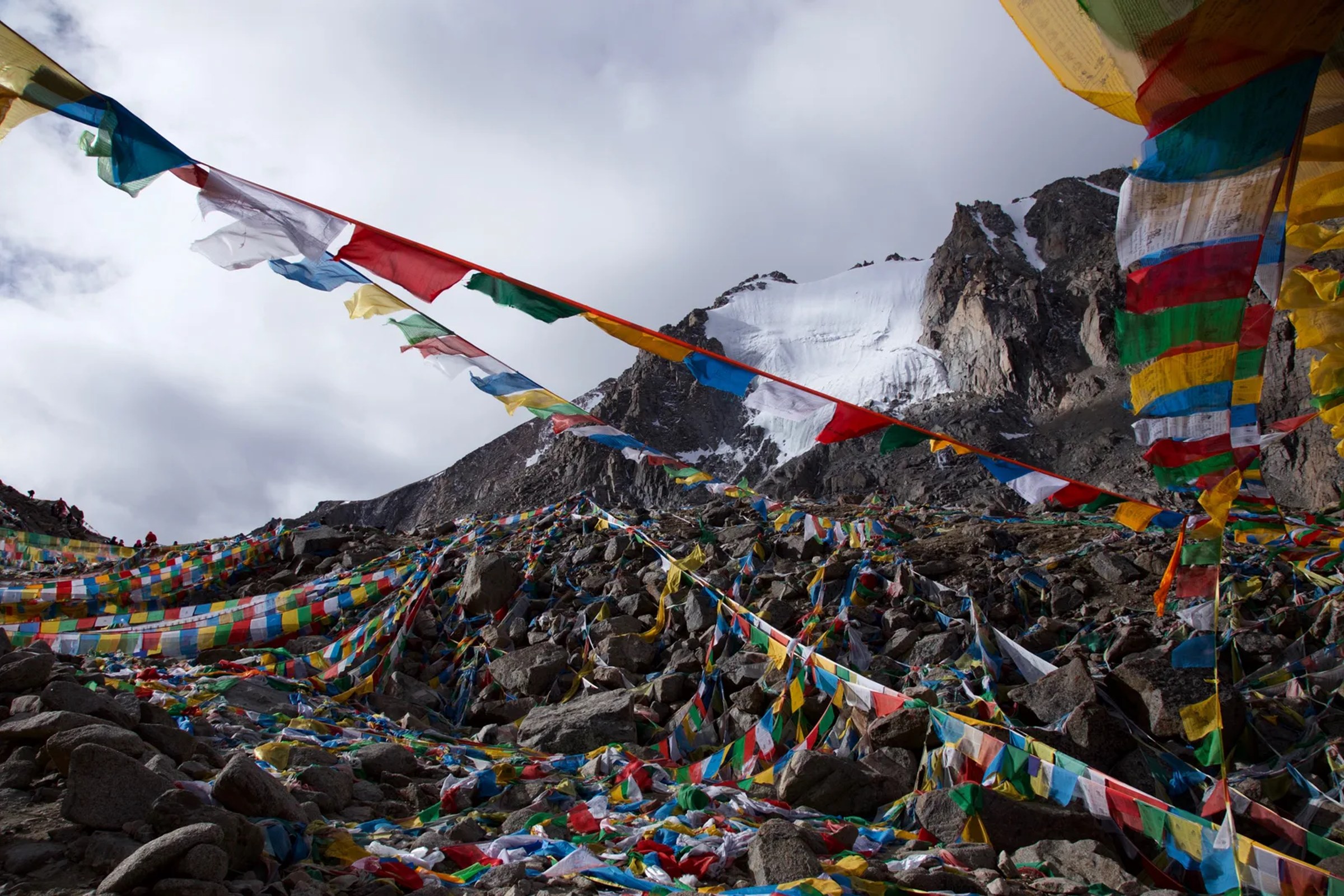
I would plan on three layers for the climb and a fourth in the bag for the top. The pass itself is exposed. The summit is covered in prayer flags, and they show the wind better than any gauge we could carry. Our difficulty guide covers what the climb does to the body; here the point is that wind will make the top feel colder than the figures in the table.
A pony takes you only as far as the top of Dolma La. The descent is on foot in whatever the afternoon has become.
Snow, rain, sun and wind
Does it snow at Mount Kailash?
Yes, and not only in winter. At the Burang station snow falls on 8.1 days in April, 4.5 in May, 0.3 in June, 0.1 in July, none in August, 0.3 in September and 1.8 in October. Those are valley figures at 3,900 m. Dolma La is 1,730 m higher and catches what the valley does not, so pack for snow in May and September and for sleet in high summer.
Rain
The region sits in the Himalayan rain shadow, and the Burang annual total is 147 mm, about half of it falling between May and September. The monsoon shows up here as extra cloud and humidity. The rain shadow and the flooded Nepal-side road get their full treatment in our best time guide.
Sun
Between May and September Burang logs 257 to 311 hours of sunshine a month, 62 to 73 percent of what is possible. The World Health Organization notes that ultraviolet levels rise with altitude because there is less air to absorb them. Sunscreen and lip balm with sun protection belong in your pocket, and cold air is no reason to leave them in the bag.
Wind
We found no station wind data we could read in full, so we give no numbers. Our own equipment list asks for a windproof shell and a buff for wind and dust. Plan for wind on the plateau and at the pass.
The road we drive: Kerung, Saga and the passes
On the overland route the weather changes with every day of driving. We have no station normals for Kerung or Saga, so we do not give monthly figures. What we can give is the altitude, which sets the cold.
Day 1 ends at Kerung, 2,800 m, and Day 2 is a rest day there. Day 3 crosses Ghungtang La at 5,226 m on the way to Saga, 4,350 m. From Saga the road runs west to Lake Mansarovar and Darchen at about 4,670 m. Our own equipment notes ask you to expect near-freezing nights at Kerung, Saga and Darchen. The road is the part of the trip where you pass through the most elevations in the least time. How this Nepal road compares with the routes from India is set out in our Kailash from Nepal or India guide.
The route via Lhasa climbs another way. Lhasa is at 3,650 m, the Kamba La Pass is at 4,990 m and Shigatse is at 3,840 m. Two nights in Lhasa mean you reach the western plateau with a body that has already slept high.
What to wear for the Kailash Mansarovar Yatra
Dress for a day that runs from a frozen morning at the pass to a warm afternoon in the sun. Layers do the work. The same base layer, mid layer and shell cover every month of the season; what changes is how many extra layers you carry.
Next to the skin goes a thermal base layer, top and bottom. Over it, a fleece or other insulated mid layer. On top, a windproof and waterproof shell with a hood. Waterproof trousers go in the bag for the pass, where sleet can arrive in July.
For the head and hands, bring a warm hat and a separate sun hat, a buff, and insulated gloves with a thin liner pair. Sunglasses must have strong UV protection, and sunscreen and lip balm go in a pocket where you can reach them. Poles help on the descent from the pass.
Down jacket and sleeping bag are the decision that changes with the departure. On the overland Kailash Mansarovar Yatra we provide the down jacket and the sleeping bag, and both come back to us at the end of the trip. The duffel bag is yours to keep. On the tour via Lhasa the checklist asks you to bring your own down jacket, rated to minus 15 C. Read the checklist on the tour page for your departure before you shop.
A general kit list for lower-altitude Nepal treks is in our Nepal trek packing list. It was written for teahouse treks, so use it for the layering basics and not for the Kailash specifics above. One line on altitude: the cold and the thin air arrive together, and our altitude sickness guide explains the symptoms to watch for on the pass.
If you want the cost of a pony or porter to carry the layers you do not want to, our Kailash cost guide has the rates, paid in cash at Darchen.
When the weather turns
Ponies stop at the top of Dolma La in any weather, so a hired pony does not get you over a pass you cannot walk. The descent and the third kora day are on foot.
The pre-dawn start from Dirapuk exists for the ground, which is firmest while it is still frozen. If the weather is wrong on the day, your guide decides whether the group crosses, and that call is theirs and not yours.
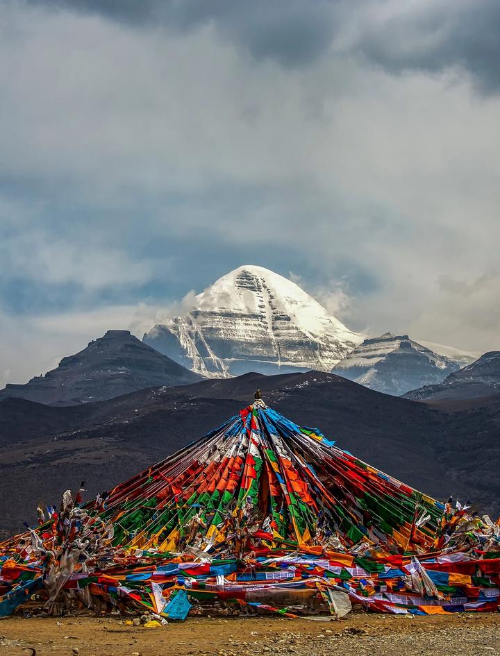
Cover photograph: prayer flags on Dolma La, the high point of the Kailash kora, by Jean-Marie Hullot on Wikimedia Commons, licensed CC BY-SA 4.0.
Frequently Asked Questions
How cold is Dolma La Pass in summer?
About 10 C by day and minus 2 C at night in July and August, and colder in June and September. These are estimates from Burang station normals adjusted for altitude, with an error of about 3 C. Wind and cloud make the pass feel several degrees colder than the figures.
Does it snow at Mount Kailash in July and August?
Rarely at the valley station, which logs 0.1 snowy days in July and none in August. Dolma La is 1,730 m higher, so sleet or a dusting of snow is possible even in high summer. Pack waterproof layers for the pass.
How much rain falls during the Kailash Mansarovar Yatra season?
Little. The Burang station records 6.8 mm in May, 11.7 mm in June, 18.5 mm in July, 25.6 mm in August and 11.3 mm in September. August has the most wet days, 9.3.
Which month is warmest at Darchen?
July, with an estimated afternoon high of about 17 C and a night low of about 4 C. August is within a degree of it. May and September are cooler, and the nights at Darchen drop to freezing in September.
What should I wear on the Dolma La day?
Thermal base layer, fleece, windproof and waterproof shell, warm hat, insulated gloves with a liner pair, sunglasses and sunscreen. Carry a spare layer for the summit, where wind drives the cold.